Fine Art Prints & Posters
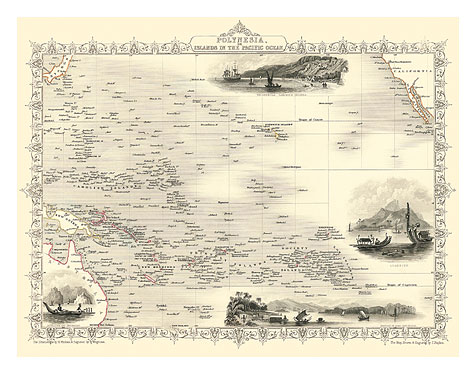
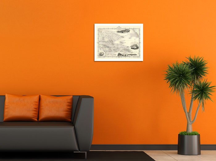
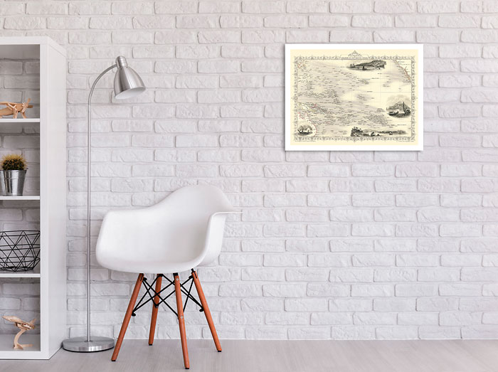
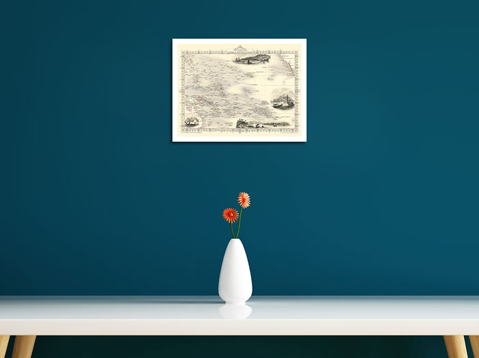
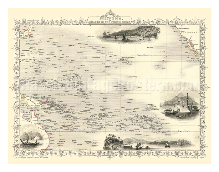
Map of Polynesia - Islands In The Pacific Ocean - c. 1851
J. Rapkin
DISPLAYING: 11" x 14" Fine Art Print
Antique Map of the Pacific Ocean. It shows the islands between California and Australia. 4 small illustrations are included in the map: a) Kalakakooa, Sandwich Islands (Kailua, Hawaii) b) Otaheite (Tahiti) c) Harbor of Dory in New Guinea and d) Resolution Bay, Marquesas
The Illustrations by H. Winkles & Engraved by T. Wrightson
The Map, Drawn & Engraved by J. Rapkin
The Illustrations by H. Winkles & Engraved by T. Wrightson
The Map, Drawn & Engraved by J. Rapkin
