Maps
-
 $9.98 - $199.98
 -
 $9.98 - $199.98
 -
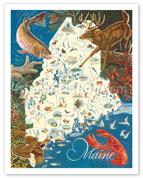
State of Maine Wildlife Map - New England - c. 1950's
J.G. Shelley & Louis Koster
$9.98 - $199.98Pictorial Illustrated Map of Maine, U.S.A.$9.98 - $199.98 -

Map of South America - Moore McCormack Lines Pictorial Map - c. 1942
Ernest Dudley Chase
$9.98 - $199.98$9.98 - $199.98 -

Hawaii Paradise of the Pacific - Turtles (Honu) Hawaiian Islands Map
Wade Koniakowsky
$9.98 - $199.98$9.98 - $199.98 -

Hawaiian Surfer - Hawaii Paradise of the Pacific
Wade Koniakowsky
$9.98 - $199.98Hawaii Map - Surfer with Old Wooden Surfboard$9.98 - $199.98 -

Hawaiian Wahine - Hawaiian Islands - Hawaii Paradise of the Pacific
Wade Koniakowsky
$9.98 - $199.98Hawaii Map$9.98 - $199.98 -
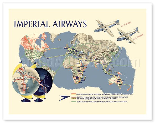
Imperial Airways - World Route Map - c. 1937
James Gardner
$9.98 - $199.98Imperial Airways• Routes operated by Imperial Airways & Companies in Association• Routes projected or under investigation for operation by or in conjunction with Imperial Airways• Some routes operated by other air transport companies$9.98 - $199.98 -

Mediterranean Network (Réseau Méditerranéen) - Flight Route Map - c. 1930
Lucien Boucher (Renluc)
$9.98 - $199.98Pictorial map of Mediterranean Sea$9.98 - $199.98 -

Map of Yosemite Valley - National Park - c. 1955
Milton Cavagnaro & Leo Holub
$9.98 - $199.98Pictorial Map Yosemite National Park, California, USA$9.98 - $199.98 -

Map of Polynesia - Islands In The Pacific Ocean - c. 1851
John Rapkin
$9.98 - $199.98Antique Map of the Pacific Ocean. It shows the islands between California and Australia. 4 small illustrations are included in the map: a) Kalakakooa, Sandwich Islands (Kailua, Hawaii) b) Otaheite (Tahiti) c) Harbor of Dory in New Guinea and d)...$9.98 - $199.98 -
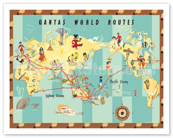
Qantas Empire Airways - World Routes Map - c. 1950
Anne Drew
$9.98 - $199.98QantasAustralia's Overseas AirlinesIn Association with B.O.A.C. and TEAL$9.98 - $199.98 -
 $9.98 - $199.98
 -

United Kingdom - International Postal Mail Steamship Routes - World Map - c. 1937
MacDonald (Max) Gill
$9.98 - $199.98GPO - General Post OfficeMail Steamship Routes900 AD - In the time of King Alfred1200 - In the time of the Crusades1470 - A Merchantman1587 - in the time of Queen Elizabeth1752 - The "Falmouth" East Indiaman1819 - The "Thames" East Indiaman1833 - A...$9.98 - $199.98 -
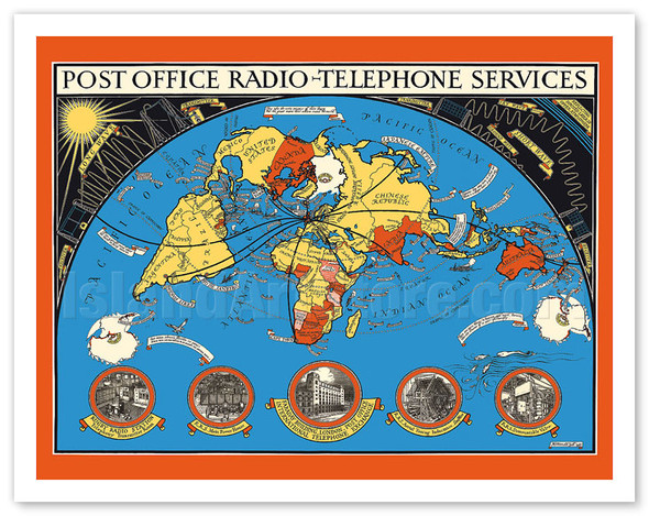
Post Office - International Radio Telephone Services - World Map - c. 1935
MacDonald (Max) Gill
$9.98 - $199.98Post Office Radio - Telephone ServicesRugby Radio Station - Telephony Transmitter RoomR. R. S. Main Power HouseFaraday Building, London - Post Office - International Telephone ExchangeR. R. S. Aerial Tuning Inductance. Long WaveR. R. S. Demountable...$9.98 - $199.98 -
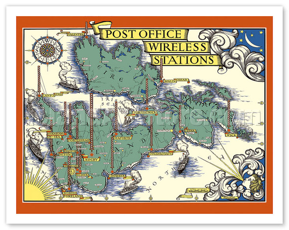
Post Office Wireless Stations - Great Britain - England - British Isles Map - c. 1938
MacDonald (Max) Gill
$9.98 - $199.98Map of England, Scotland, Wales and Eire (Ireland)$9.98 - $199.98 -

The Famous Wonderground Map of London Town, England - Underground Railways - c. 1915
MacDonald (Max) Gill
$9.98 - $199.98Pictorial Map of LondonLondon - Holborn - Southwark - Lambeth - Westminster - Chelsea - Kensington - St. MaryleboneThe Heart Of Britain's EmpireHere Is Spread Out For Your ViewIt Shows You Many Stations & Bus Routes Not A FewYou Have Not Time To Admire...$9.98 - $199.98 -
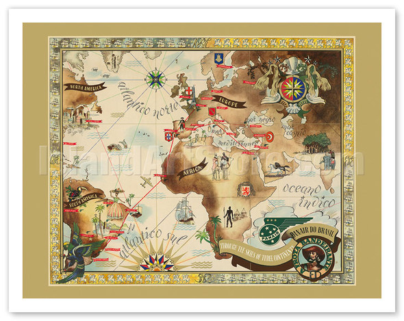
Bandeirante Fleet Air Route World Map - Panair Do Brasil - Pan American - c. 1947
Eymonnet
$9.98 - $199.98Panair de BrasilThrough the skies of three continentsA Frota Bandeirante$9.98 - $199.98 -
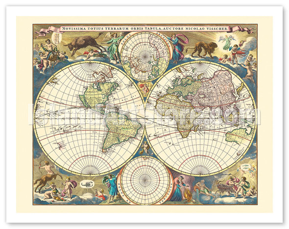
Novissima Totius Terrarum Orbis Tabula - Double Hemisphere World Map - c. 1658
Nicolaes Visscher
$9.98 - $199.98Novissima Totius Terrarum Orbis Tabula, Auctore Nicolao VisscherThe last of the World Maps, by Nicolaes Visscher I$9.98 - $199.98 -

St. Maries de la Mer (Saintes-Maries-de-la-Mer) - Southern France - The Rhône River - c. 1938
Lucien Boucher (Renluc)
$9.98 - $199.98The Rhône River, from the Alps to the Mediterranean Sea.Lyon, Vienne, Valence, Point St. Esprit, Avignon, Mont Ventoux, Arles, Nimes, St. Maries de la MerPictorial Map of Rhône River$9.98 - $199.98 -
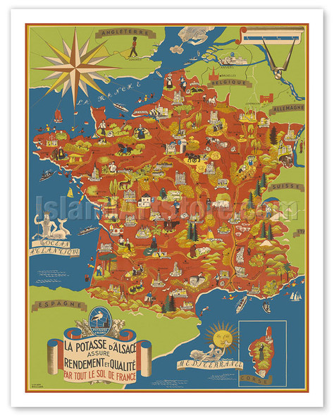
Potash Mining of Alsace, France (La Potasse D'Alsace) - Map of France - c. 1950
Lucien Boucher (Renluc)
$9.98 - $199.98La Potasse D'AlsaceAssure Rendement et QualitéPart tout le sol de France$9.98 - $199.98 -

Centenary of International Red Cross (Croix Rouge) - French - c. 1963
Lucien Boucher (Renluc)
$9.98 - $199.98Centenaire de la Fondation de la Croix-Rouge 1863 - 1963Henri Dunant - Promotour Des Conventions de GeneveLa Croix-Rouge a Travers le monde, 100 ans aprés sa fondation$9.98 - $199.98 -
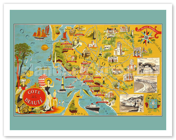
Côte de Beauté, France - French South Western Coastline - c. 1940
Lucien Boucher (Renluc)
$9.98 - $199.98Côte de Beauté - Les Beaux Rivages (The Beautiful Shores)Saintonge - Royan - Marennes - Ronce Les Bains - La Tremblade - Les Mathes - Breuillet - St. Palais Sur Mer - Vaux Sur Mer - Medis - St. Georges de Didonne - Meschers - Talmont Sur...$9.98 - $199.98 -

Western Hemisphere Air Routes - BOAC British Overseas Airways Corporation - c. 1949
E.O. Seymour
$9.98 - $199.98B. O. A. C. - World Air RoutesLinking the Old World and the New$9.98 - $199.98 -
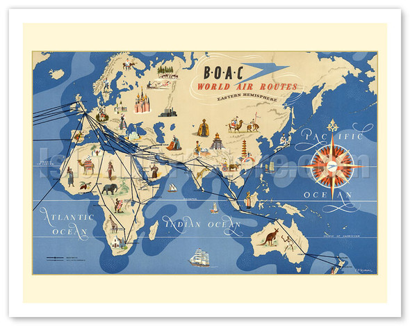
Eastern Hemisphere Air Routes - BOAC British Overseas Airways Corporation - c. 1949
E.O. Seymour
$9.98 - $199.98Europe, Asia, Africa and Australia Map$9.98 - $199.98 -

World Air Routes - USA, Europe, Africa, Asia - c. 1949
Lucien Boucher (Renluc)
$9.98 - $199.98World Map of Airplane Routes Vintage Airline Travel Poster$9.98 - $199.98 -
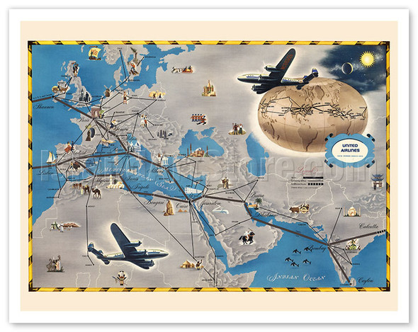 $9.98 - $199.98
 -
 $9.98 - $199.98
 -

Belgian Congo (Congo Belge) - Africa - Pictorial Map - c. 1949
Frans Laboulais
$9.98 - $199.98Congo Belge - Afrique Equatoriale Française - Soudan - Uganda - Tanganyka - Angola - Rhodesie$9.98 - $199.98 -
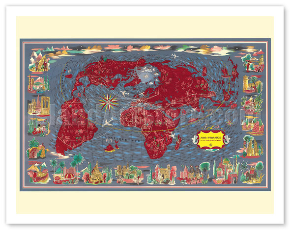
Largest Network in the World (Le Plus Grand Réseau du Monde) - Air Routes - c. 1950's
Lucien Boucher (Renluc)
$9.98 - $199.98World Map Airline Routes$9.98 - $199.98 -
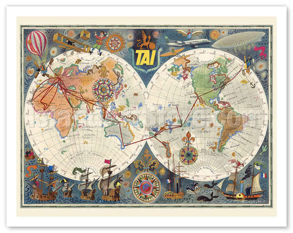
World Air Routes - TAI Airline - Transport Aeriens Intercontinentaux - c. 1960
Luc Marie Bayle
$9.98 - $199.98$9.98 - $199.98 -

Double Hemisphere Route Map - TAI Airline - c. 1948
Luc Marie Bayle
$9.98 - $199.98Transport Aeriens Intercontinentaux - World Map$9.98 - $199.98 -

Crédit Lyonnais Bank - Locations in France - c. 1960
Lucien Boucher (Renluc)
$9.98 - $199.98Crédit Lyonnais - Fondé en 1863 Pictorial Map of France$9.98 - $199.98 -

Sartel Spinning Mills (Filatures du Sartel) throughout France - c. 1955
Lucien Boucher (Renluc)
$9.98 - $199.98Filatures du Sartel Wattrelos (Nord) France Sartel - Les techniciens du fil a coudre modernePictorial Map of France$9.98 - $199.98 -
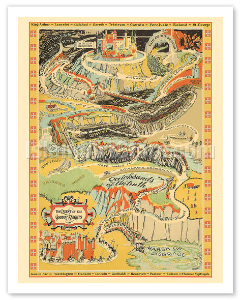
The Quest of the Goodly Knights - Path to The Castle of Knighthood - c. 1927
Ray Wardell
$9.98 - $199.98The Quest of the Goodly Knights King Arthur - Lancelot - Galahad - Gareth - Tristram - Gawain - Percivale - Roland - St. George - Joan of Arc - Washington - Franklin - Lincoln - Garibaldi - Roosevelt - Pasteur - Edison - Florence Nightingale$9.98 - $199.98 -

Wondrous Isle of Manhattan, New York - Pictorial Map - c. 1926
Charles Vernon Farrow
$9.98 - $199.98Spectacular Panoramic Map of Manhattan Published in New York by Fuessle & Colman$9.98 - $199.98 -

Ceylon (Sri Lanka) Map - Tea Propaganda Board - c. 1933
MacDonald (Max) Gill
$9.98 - $199.98Map of Ceylon showing her Tea & other industries Pictorial Map$9.98 - $199.98 -

Sri Lanka Pictorial Map - Ceylon Tea Propaganda Board - c. 1933
MacDonald (Max) Gill
$9.98 - $199.98Map of Ceylon showing her Tea & other industries$9.98 - $199.98 -

Yosemite Valley - National Park - Pictorial Map - c. 1931
Jo Mora
$9.98 - $199.98Yosemite There is so much of Grandeur and reverential Solemnity to Yosemite that a bit of humor may help the better to happily reconcile ourselves to the triviality of Man. Give me the souls who smile at their devotions Now, should this light effort not...$9.98 - $199.98 -
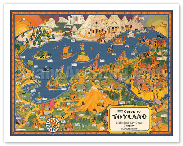
The Guide to Toyland - Children's Fairy Tales - c. 1940
$9.98 - $199.98The Guide to Toyland Mulholland Dry Goods Company Wayne, Michigan Pictorial Map$9.98 - $199.98 -

Christopher Colombus 1436-1506 - Trans-Atlantic Map - c. 1927
Lucien Boucher (Renluc)
$9.98 - $199.98CHRISTOFVS COLOMBUS 1436 - 1506$9.98 - $199.98 -
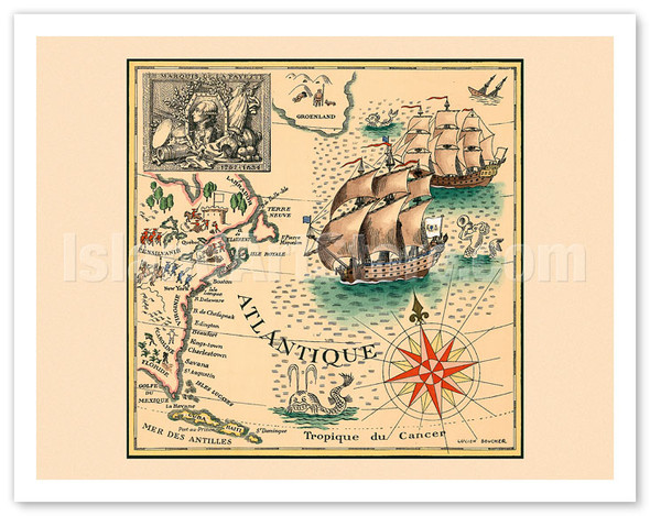
Marquis de Lafayette 1757-1834 - Trans-Atlantic Map
Lucien Boucher (Renluc)
$9.98 - $199.98MARQUIS DE LA FAYETTE 1757 - 1834 U.S. East Coast and Atlantic Ocean Map$9.98 - $199.98 -

To Hawaii - Northwest Orient Airlines - c. 1930's
$9.98 - $199.98North America, U.S. and Hawaii Fight Routes Map$9.98 - $199.98 -
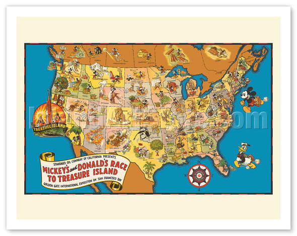
Walt Disney’s Mickey and Donald’s Race to Treasure Island - U.S. Map - c. 1939
$9.98 - $199.98Standard Oil Company of California Presents Mickey's and Donald's Race to Treasure Island Golden Gate International Exposition on San Francisco Bay Pictorial Map of USA$9.98 - $199.98 -
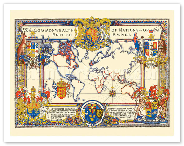
The Commonwealth of Nations (The British Empire) - World Map - c. 1937
Alonzo C. Webb
$9.98 - $199.98The Commonwealth of Nations or the British Empire Me thinks I see in my mind a noble and puissant nation rousing herself like a strong man after sleep, and shaking her invincible locks - Milton Britain - I see her in her old age but young - And still...$9.98 - $199.98 -

The United States of America - Pictorial Map - c. 1943
Miguel Covarrubias
$9.98 - $199.98Pictorial Map of USA showing agriculture, livestock and industry.$9.98 - $199.98 -

Celestial Star Map - Astrology Constellations - c. 1930's
Elizabeth Shurtleff
$9.98 - $199.98Star Map Face South, and raise map over head, to place constellations Diane, the Moon Goddess The Ram, the Bull, the Heavenly Twins, and next the Crab, the Lion shines, The Virgin, and the Scales, The Scorpion, Archer, and Sea-goat, the Man that holds...$9.98 - $199.98 -

Map of the Ancient World - Based on Claudius Ptolemy’s Writing - c. 1578
Gerard Mercator
$9.98 - $199.98VNIVERSALIS TABVLA IVXTA PTOLEMÆUM Universal Map According to Ptolemy Antique Map of Europe, North Africa, Middle East and Asia$9.98 - $199.98 -

French Indochina Map (Indochine Française) - Cambodia, Laos and Vietnam - c. 1930's
Jean Pierre
$9.98 - $199.98$9.98 - $199.98 -

Star Constellation Chart - Cœlum Stellatum - c. 1801
Johann Elert Bode
$9.98 - $199.98Cœlum Stellatum Hemisphæri Um Arietis Curavit J. E. Bode$9.98 - $199.98 -

Paris, France - Aerial View of The City Center - 3D Drawing Map - c. 1959
$9.98 - $199.98View of the center of Paris taken from the air$9.98 - $199.98 -
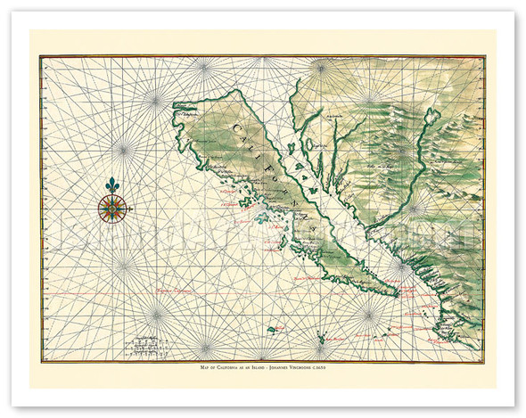
Map of California as an Island - Baja California Peninsula - c. 1650
Johannes Vingboons
$9.98 - $199.98$9.98 - $199.98 -
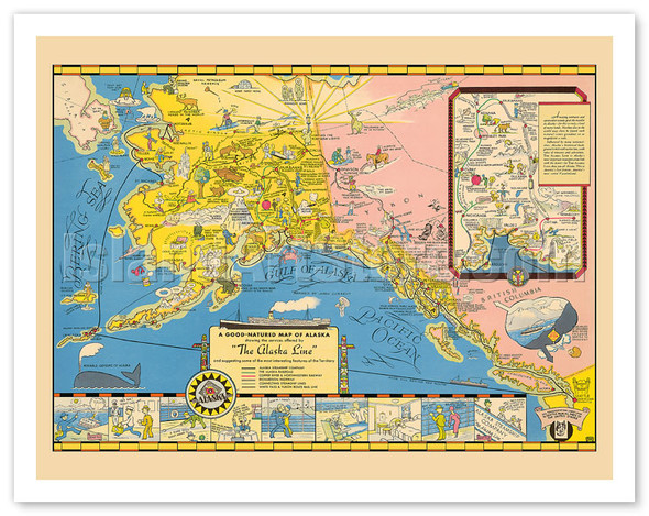
A Good-natured Map of Alaska - The Alaska Line - Alaska Steamship Company - c. 1934
$9.98 - $199.98A Good-natured Map of Alaska Showing the services offered by &ldquoThe Alaska Line&rdquo and suggesting some of the most interesting features od the Territory - Alaska Steamship Company -The Alaska Railroad -Copper River & Northwestern Railway...$9.98 - $199.98 -

The World’s Largest Network (Le Plus Grand Réseau du Monde) - France
Lucien Boucher (Renluc)
$9.98 - $199.98World Map Planisfere - Fight Routes from France Vintage Airline Travel Poster$9.98 - $199.98 -

World Map Of The Terrestrial Globe
Robert de Vaugondy
$9.98 - $199.98Vintage Colored Cartographic Map Mappe Monde de Carte Générale du Globe Terrestre$9.98 - $199.98 -

Paris, France - Map of the City - c. 1578
$9.98 - $199.98Antique 16th Century Paris Map Pictorial Map of Paris with Seine River$9.98 - $199.98 -
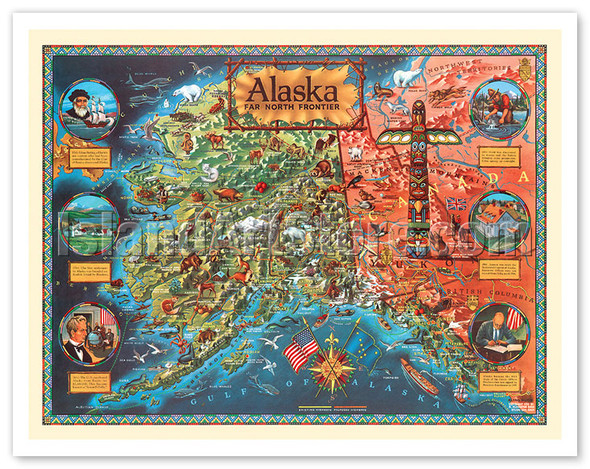
Alaska Far North Frontier - c. 1959
Klengston Rude
$9.98 - $199.98Vintage Illustrated Map Alaskan Pictorial Map$9.98 - $199.98 -
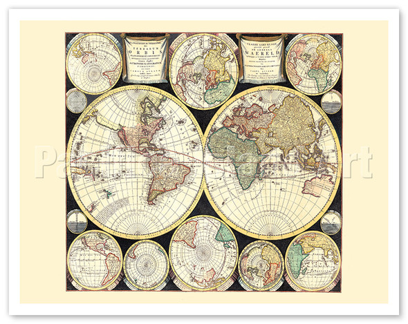
The Terrestrial Planisphere (Planisphaerium Terrestre Sive Terrarum Orbis) - c. 1696
Carel Allard
$9.98 - $199.98Vintage World MapThis map is a reproduction of the "Planisphaerium Terrestre, sive Terrarum Orbis" (The Terrestrial Planisphere, or Map of the World) created by the Dutch cartographer and publisher Carel Allard around 1696. Map DetailsCartographer: Carel...$9.98 - $199.98 -
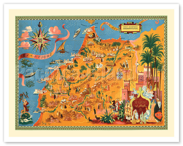
Morocco (Le Maroc) - c. 1948
Lucien Boucher (Renluc)
$9.98 - $199.98Vintage Pictorial MapThis is a reproduction of a vintage pictorial map of Morocco created by the French graphic designer and illustrator Lucien Boucher. The map, titled "Le Maroc" in French and Arabic, was likely issued around 1948 or the early 1950s...$9.98 - $199.98
